
Parcel report
Parcel number, area, land type and use, built-up area status, LV number, buildings and flats on one page.
Check a parcel →Click a plot to see its parcel number, area, land type, ownership sheet (LV) number and the risks at that spot.
 Open the map →
Parcel number, area, land type and use, built-up area status, LV number, buildings and flats on one page.
Check a parcel →Register C and E parcels, buildings, encumbrances, cadastral areas and aerial photos for all of Slovakia.
Open the map →Landslides, radon, Natura 2000, protected areas, mineral deposits, environmental burdens and noise.
Show risks →Registry number, entrances, number of flats and floors from the Address Register. Find a flat by address.
View a house →One check takes 30 seconds and can save tens of thousands of euros.
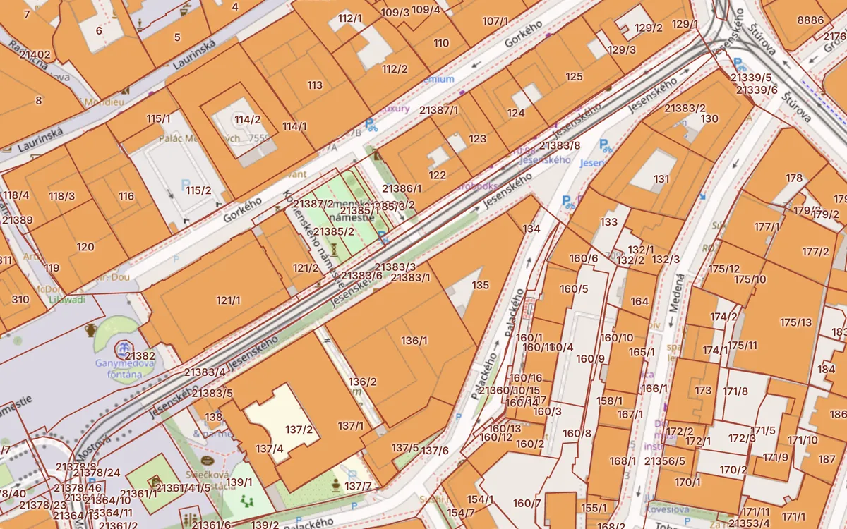
Check a parcel now →The cadastral map shows parcel boundaries and numbers as recorded in the Slovak land registry. On Kataster24 you can use it without signing up, with buildings highlighted and parcel data one click away.
The map shows where a plot is and its shape; the ownership sheet (list vlastníctva, LV) says who owns it and what encumbrances it carries. We show the LV number for every parcel. The owner can be checked in the official ZBGIS map client of ÚGKK SR or in an official LV extract.
Boundaries come from the vector cadastral map. In areas with a numeric map (VKM č) they are accurate to centimetres; in areas with a non-numeric map (VKM t) they were digitised from old paper maps and can differ from reality by several metres. Only a licensed surveyor can mark the boundary on the ground.
Parcel boundaries and encumbrances come from the public map services of ÚGKK SR (ESKN and INSPIRE), buildings and terrain from ZBGIS, risks from the State Geological Institute of Dionýz Štúr, soil data from VÚPOP, and protected areas and noise from the European Environment Agency. Kataster24 is not a government portal and is not affiliated with ÚGKK SR.