
Parcel report
Parcel number, area, land type and use, built-up area status, LV number, buildings and flats on one page.
Check a parcel →Click a plot to see its parcel number, area, land type, ownership sheet (LV) number and the risks at that spot.
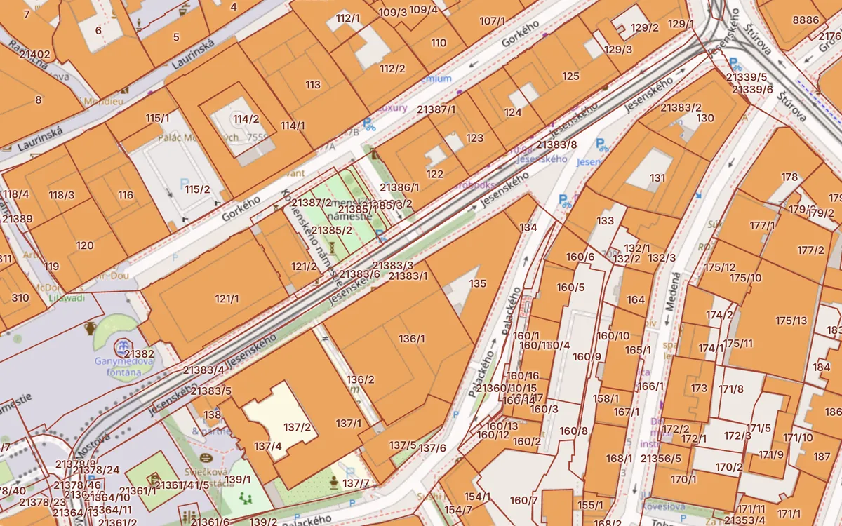 Open the map →
Parcel number, area, land type and use, built-up area status, LV number, buildings and flats on one page.
Check a parcel →Register C and E parcels, buildings, encumbrances, cadastral areas and aerial photos for all of Slovakia.
Open the map →Landslides, radon, Natura 2000, protected areas, mineral deposits, environmental burdens and noise.
Show risks →Registry number, entrances, number of flats and floors from the Address Register. Find a flat by address.
View a house →The Slovak land registry (kataster nehnuteľností) is the state register of land, buildings, flats and the rights to them. Kataster24 combines its public data with a building map, the Address Register and risk maps, so you know what matters about a plot in seconds.
Type a cadastral area and parcel number (for example “Ružinov 1234/5”) or an address. You get the area, land type, ownership sheet (LV) number, buildings on the parcel, flats in the house and the risks at the location: landslides, radon, protected areas, mineral deposits, environmental burdens and road noise.
The data comes from public services of ÚGKK SR (ESKN, INSPIRE), ŠGÚDŠ, VÚPOP and the EEA and is shown straight from the source. It is for information only. Legal transactions require an official extract of the ownership sheet (LV).
Nothing. The cadastral map and parcel report are free and need no sign-up.
Yes. The parcel report shows the owner type and shares: whether the owner is the state, a municipality, a company or a private person, how many co-owners there are and what share each holds. We show the names of the state, municipalities and companies, but not of private persons – those you can check in the official ZBGIS.
Register C parcels are drawn in the cadastral map and match the situation on the ground. Register E parcels come from the original land book and the restored land register (ROEP) and often lie underneath C parcels, mostly on fields and in forests.
Yes. For every house we show the registry number, entrances and the list of flats by floor from the Address Register. Flat area and owners are only on the ownership sheet.
A rated soil-ecological unit is a seven-digit code describing climate region, soil type, slope, depth and texture. It sets the official price of agricultural land and the levies when land is taken out of farming.
Not on Kataster24 – we neither show nor store the names of private persons. Owners can be looked up in the official ZBGIS map client of ÚGKK SR.
The map shows the boundary as recorded in the cadastre. Some cadastral areas only have a digitised (non-numeric) map with lower accuracy. A surveyor marks the exact boundary on the ground.
One check takes 30 seconds and can save tens of thousands of euros.
Check a parcel now →