
In short
- An orthophoto is an aerial image you can measure on like a map; ÚGKK SR produces it for Slovakia.
- Parcel boundaries and the orthophoto may differ by 1–3 m; a surveyor sets out the exact boundary.
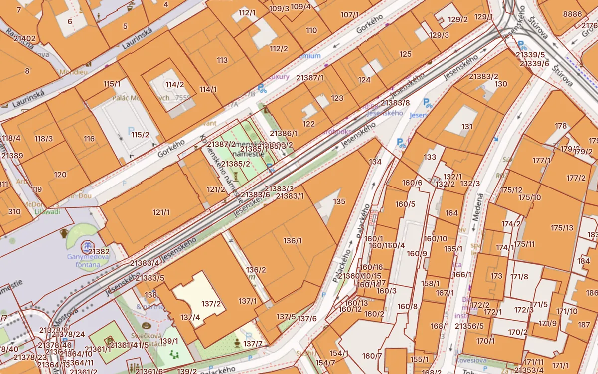
- Turn on the aerial photo with parcel boundaries with the “Aerial photo” button on the Kataster24 cadastral map.
Updated 13. 10. 2026 · Sources: ÚGKK SR, ZBGIS, public state registers
What an orthophoto is
An orthophoto map is made from aerial images geometrically corrected for terrain and camera tilt. The result has a map scale, so you can measure distances and areas on it. In Slovakia it is produced for the whole country by ÚGKK SR together with the National Forest Centre and updated in multi-year cycles.
Where to find orthophotos for free
- Kataster24 – on the cadastral map switch the background with the “Aerial photo” button; parcel boundaries stay on top.
- ZBGIS – the official ÚGKK map client with an orthophoto mosaic of all Slovakia.
- Map services (WMS) – connect the ÚGKK orthophoto mosaic to GIS software; the data is licensed CC BY 4.0.
Orthophoto + cadastre: how to read it
Overlaying the aerial image and the cadastral map quickly shows whether a fence, house or road stands where the cadastre records it. When buying land, check:
- whether a neighbour's buildings reach onto the plot,
- whether a real road leads to the plot (not just a road parcel on the map),
- whether there are unregistered buildings,
- the real condition – forest, orchard, wetland, dump.
A 1–3 metre offset between the orthophoto and the cadastral map is common, due to the accuracy of the original survey, non-numeric maps and the time of imaging. Only a surveyor can set out the exact boundary.
Historical aerial images
Historical orthophoto maps from the 1950s, produced for parts of the country by universities and cities, and ÚGKK archive images show what a plot looked like decades ago – useful in boundary disputes or when checking old roads and buildings.
Frequently asked questions
Is the orthophoto map of Slovakia free?
Yes. Viewing is free in ZBGIS and on Kataster24, and the ÚGKK orthophoto mosaic is available as a map service under CC BY 4.0.
How often is the orthophoto updated?
ÚGKK SR images the country in multi-year cycles, so images may be from different years by region.
Can I determine a boundary from the orthophoto?
Only roughly. Offsets of 1–3 m are common; a surveyor sets out the exact boundary.
Related guides
Check a plot in 30 seconds
Enter a parcel or an address to see cadastral data, buildings, flats and risks.
Open the cadastral map → Slovak land registry online →