
In short
- ESKN is the official ÚGKK SR cadastre portal (kataster.skgeodesy.sk/eskn-portal), the successor of KaPor.
- It has ownership sheets, parcels, deposit proceeding status and electronic filings.
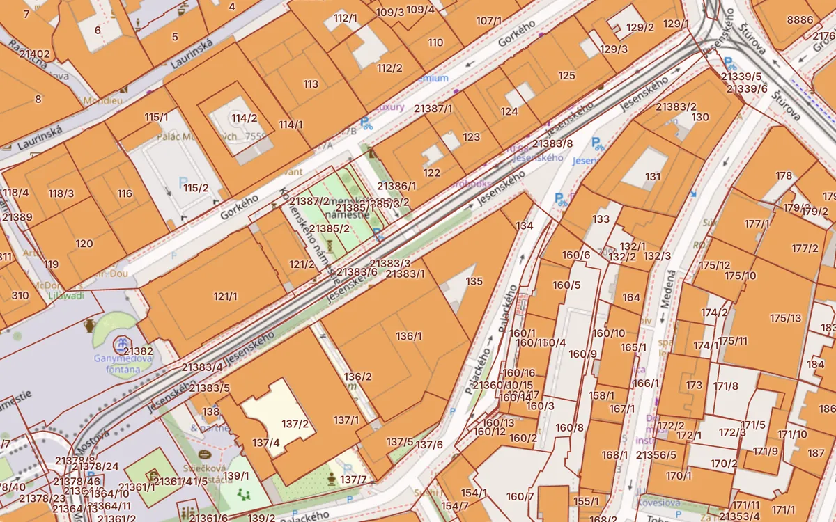
- To find a parcel on a map quickly, use the Kataster24 cadastral map – no sign-in, works on mobile.
Updated 13. 10. 2026 · Sources: ÚGKK SR, ZBGIS, public state registers
What ESKN is
ESKN (Electronic Real Estate Cadastre Services) is the portal of the Geodesy, Cartography and Cadastre Authority at kataster.skgeodesy.sk/eskn-portal. In 2022 it replaced the old Cadastral Portal (KaPor). It is used to search cadastral data and to communicate electronically with district cadastral offices.
What you find in ESKN
- Data search – ownership sheets, register C and E parcels, buildings by cadastral area and number.
- Proceeding status – how far a deposit, record or correction has got (by proceeding number, e.g. V-1234/2026).
- Electronic filings – deposit applications, extract requests and other filings with eID.
- Extracts – informative extracts for orientation and official extracts for legal use.
How to find an ownership sheet in ESKN
- Open the ESKN portal and choose Data search.
- Select the district, municipality and cadastral area.
- Enter the ownership sheet number or the parcel number (C or E).
- Open the result – you see parts A, B and C of the ownership sheet.
If you do not know the parcel number, find it on the map first: on the Kataster24 cadastral map type an address or click the plot – we show the parcel number and LV number to enter in ESKN.
Deposit proceeding status
After filing a purchase contract with the cadastre you get a proceeding number (V-…). In ESKN under Proceeding status you see whether it is registered, in progress or approved. Until the deposit is approved, the seller is still the owner – banks therefore wait for the extract after the deposit.
- ESKN – text search, proceedings and filings. Maps are not its strength.
- ZBGIS – the official map with parcels and ownership sheets.
- Kataster24 – a fast cadastral map without locking an area, plus buildings, flats and local risks.
What changes from 2027
According to ÚGKK SR, an amendment to the Cadastral Act with proposed effect from 1 January 2027 would make owner names and shares available only after signing in (eID or an account), abolish the informative extract and set an electronic official extract at €6. The map and technical data stay freely available – also on Kataster24.
Frequently asked questions
What is ESKN?
ESKN is the Electronic Real Estate Cadastre Services – the official ÚGKK SR portal for searching ownership sheets, parcels, proceeding status and for electronic filings.
Did ESKN replace KaPor?
Yes. The KaPor cadastral portal was switched off in 2022 and its functions moved to ESKN and the ZBGIS map client.
How do I check a deposit's status?
In ESKN under Proceeding status enter the proceeding number (e.g. V-1234/2026) and the district. You will see whether the deposit is approved.
Where do I find the parcel number for ESKN?
On the Kataster24 cadastral map – type an address or click the plot to see the parcel and LV numbers.
Related guides
Check a plot in 30 seconds
Enter a parcel or an address to see cadastral data, buildings, flats and risks.
Open the cadastral map → Slovak land registry online →