
In short
- Slovakia has no public register of sold land prices – estimate from listings, statistics and an expert valuation.
- Value depends most on location, whether it is building land (zoning plan), access and utilities, and risks like floods or landslides.
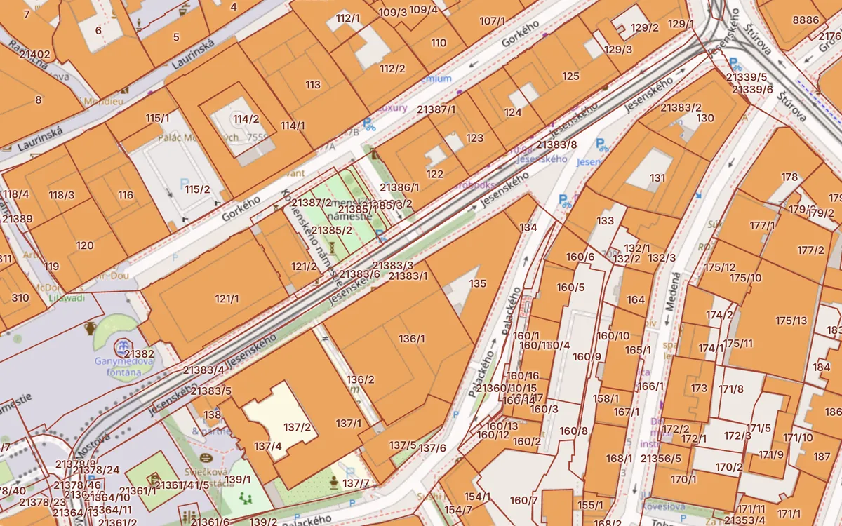
- For every parcel the Kataster24 cadastral map shows average housing prices in the region (NBS) and local risks.
Updated 13. 10. 2026 · Sources: ÚGKK SR, ZBGIS, public state registers
Where to find a land price
- Listings nearby – asking prices on property portals. The actual sale price is usually lower.
- NBS statistics – the National Bank of Slovakia publishes average residential property prices by region (below). For land they show the market trend.
- Expert valuation – the binding value for a bank, inheritance or court, prepared by a court-appointed expert.
- Municipality – when selling municipal land, prices are published in council resolutions.
Residential property prices by region (NBS, Q2 2026)
| Region | €/m² | Year on year |
|---|---|---|
| Bratislava | 3,882 | +9.4 % |
| Košice | 2,796 | +11.5 % |
| Prešov | 2,310 | +6.1 % |
| Žilina | 2,303 | +13.0 % |
| Trnava | 2,064 | +6.7 % |
| Trenčín | 1,908 | +12.9 % |
| Banská Bystrica | 1,841 | +7.4 % |
| Nitra | 1,674 | +11.4 % |
| Slovakia | 3,041 | +9.5 % |
Source: National Bank of Slovakia, average residential property prices (flats and houses). These are not land prices – they indicate the regional market.
What raises a land price
- Building land – inside the built-up area and the zoning plan allows building.
- Access and utilities – an access road on a public parcel, water, sewer, electricity, gas.
- Shape and slope – a regular, flat plot is easier to build on.
- Surroundings – school, shops, transport, commute.
What lowers it
- Encumbrances – easements, mortgages, pre-emption rights (part C of the ownership sheet). See Encumbrances.
- Risks – flood zone, landslides, radon, noise, environmental burdens nearby.
- Agricultural land – outside the built-up area; taking it out of the land fund costs time and fees (by BPEJ).
- Co-ownership – a share of a plot is harder to sell.
Check the plot before agreeing a price
On the Kataster24 cadastral map find a parcel by number or address; a click shows its area, land type, built-up-area status, encumbrances in the map, risks (floods, landslides, radon, noise) and average housing prices in the region. Checklist: How to check land before buying.
Frequently asked questions
Where can I find a land price in Slovakia?
There is no public register of sold land prices. Estimate it from nearby listings, NBS statistics and, for a binding value, an expert valuation.
What affects a land price most?
Location, whether the plot is building land under the zoning plan, access and utilities, and risks such as floods or landslides.
Does Kataster24 show the price of a specific plot?
No. We show average housing prices in the region (NBS) and everything that affects the price – land type, built-up area, encumbrances and risks.
When do I need an expert valuation?
For a mortgage, inheritance, a court case or the sale of municipal land. A court-appointed expert prepares it.
Related guides
Check a plot in 30 seconds
Enter a parcel or an address to see cadastral data, buildings, flats and risks.
Open the cadastral map → Slovak land registry online →